Kırıkkale
Kırıkkale is a province in Central Anatolia immediately east of Ankara, associated with industrial development and the transport routes linking the capital to eastern Türkiye. Its provincial centre is relatively modern compared with some of the country's better-known historic towns. The surrounding province includes agricultural landscapes, smaller settlements and stretches of the Kızılırmak River basin.
Kırıkkale is a province in Central Anatolia immediately east of Ankara, associated with industrial development and the transport routes linking the capital to eastern Türkiye. Its provincial centre is relatively modern compared with some of the country's better-known historic towns. The surrounding province includes agricultural landscapes, smaller settlements and stretches of the Kızılırmak River basin.
Geography and Landscape
The terrain consists largely of central Anatolian hills, plains and river valleys. The Kızılırmak, Türkiye's longest river entirely within the country, passes through the wider province and shapes some agricultural areas. Open fields, low ridges and villages define much of the countryside. The province's geographical position places it between the Ankara metropolitan region and the interior plateau. Its landscape is strongly tied to the broader Central Anatolian plateau, where cultivated valleys and open hills form the backdrop to a modern industrial centre.
History and Heritage
Kırıkkale's modern growth is strongly connected with twentieth-century industrial investment, especially state-linked arms and machinery production. The area was administratively part of Ankara Province before becoming a separate province in 1989. Older settlements and historical remains exist in surrounding districts, showing that the region's human history extends far beyond the formation of the modern industrial city. Historical crossings of the Kızılırmak illustrate how movement through the interior shaped local settlement, even before the twentieth-century growth of the provincial capital.
The names of individual districts matter when describing Kırıkkale: the provincial capital is only one part of a larger administrative area. Natural landmarks and historic settlements may lie well beyond the main urban centre, so the province is best understood as a collection of connected but distinct local landscapes. This distinction is useful when interpreting maps and comparing neighbouring destinations.
Places to Visit
The Kırıkkale city centre illustrates a more recent phase of Anatolian urban development. Çeşnigir Bridge over the Kızılırmak is a notable historical landmark in the province, associated with a river landscape and older transport routes. Smaller district towns and rural roads offer views of central Anatolian agriculture. Unlike provinces dominated by one major archaeological complex, Kırıkkale's attractions are more dispersed.
Local Culture and Cuisine
Industry and transport have shaped the modern urban identity, while agriculture remains important outside the capital. Local cuisine reflects the traditions of the central Anatolian plateau, with grain-based dishes, meat and seasonal vegetables. Markets and neighbourhood activity reveal links between the province's rural districts and industrial centre. Historical river crossings are part of the landscape's cultural memory.
Climate and Seasons
Kırıkkale experiences a continental climate with warm, generally dry summers and cold winters. Spring brings greener fields and milder conditions, while autumn marks a return to cooler nights. Exposed plains and river corridors can feel different depending on wind and elevation. Snowfall is possible in winter, though conditions vary between the central city and higher rural roads.
Getting There and Around
The province has strong road and rail connections with Ankara and other destinations in central Türkiye. Its location on established intercity routes makes Kırıkkale accessible from the capital. Historical sites and countryside attractions require onward local travel from the city centre. Many travellers encounter the province as part of a broader journey across the Anatolian interior.
Discover Food in Türkiye
All food →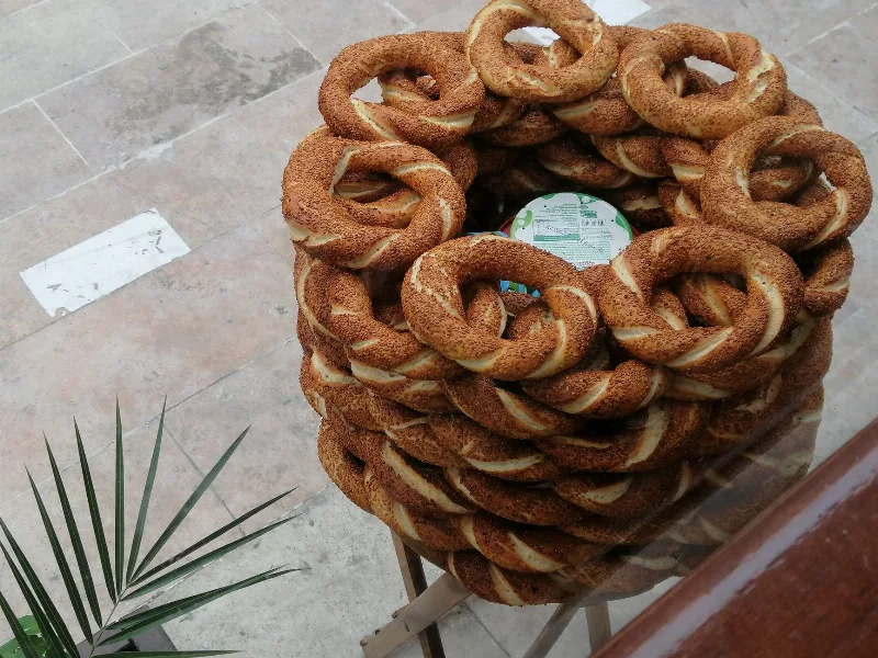
Simit
Simit is a ring-shaped Turkish bread covered in sesame seeds, strongly associated with Istanbul and sold as everyday street food. It is eaten fresh, most often with tea, and has a crisp crust around a chewy crumb.
Explore →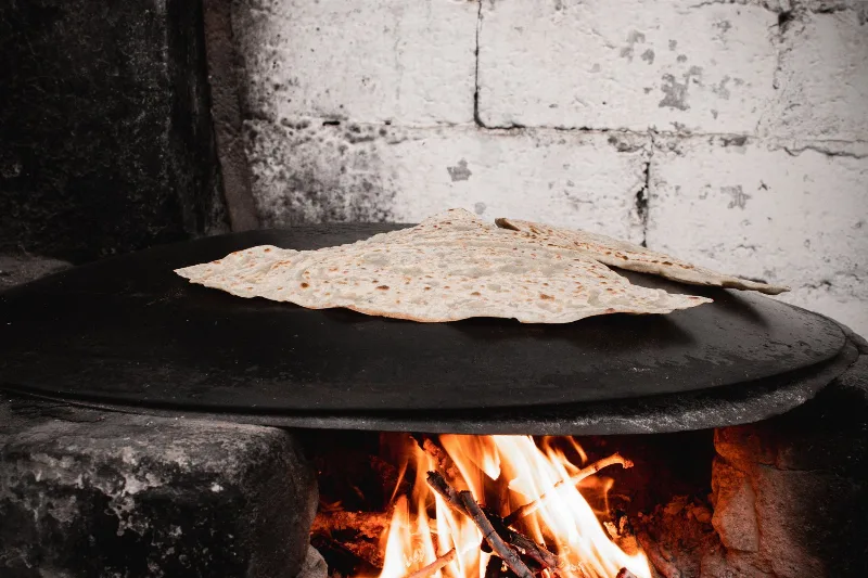
Bazlama
Bazlama is a soft, thick Turkish flatbread made from a leavened dough and cooked on a hot griddle. It is a staple of village baking across Anatolia, eaten warm with butter or used to wrap other foods.
Explore →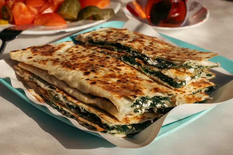
Gözleme
Gözleme is a thin, hand-rolled Anatolian flatbread folded around savory fillings such as cheese, spinach, or minced meat and cooked on a sac griddle. The article covers its regional variations, cooking method, texture, and traditional serving style.
Explore →Related content
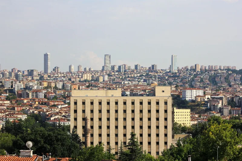
Ankara
Ankara is the capital of Türkiye and the country's second-largest city, set on the high plateau of Central Anatolia and defined by its republican institutions, its long pre-Ottoman history and the mausoleum of Mustafa Kemal Atatürk.

Central Anatolia Region
Central Anatolia is the historic heartland of Türkiye, known for its wide plains, extraordinary rock formations, ancient civilizations and traditional towns. From the fairy chimneys of Cappadocia to the cultural landmarks of Ankara and Konya, the region reveals the rich history and natural beauty of inner Anatolia.
Beypazarı Traditional Houses and Silver Work in Ankara
Beypazarı, a district town in Ankara Province, is known for its well-preserved Ottoman-era houses and a silver-working tradition that still fills its old market streets.
Beypazarı
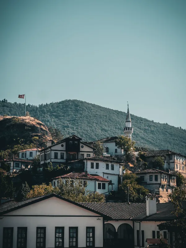
Beypazarı is a district town in Ankara Province where a large stock of Ottoman-era houses still lines the old streets, and where mineral water springs, silver filigree work and carrot growing shape daily life. It is an easy inland counterpart to the better-known historic towns of Anatolia.

Beypazarı Carrots
Beypazarı carrots are the sweet, crisp orange carrots grown in the stream-fed valley of Beypazarı, a district of Ankara Province in Central Anatolia. Deep alluvial soils, irrigation water and a long vegetable-growing tradition have tied the district's name to this single root crop.
Cities in Türkiye
Discover Türkiye's vibrant cities, each offering unique traditions and sights, making them captivating travel destinations.